Matthew Steeples discovers a map of London with a difference
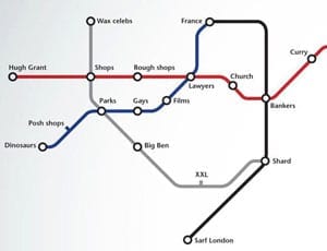
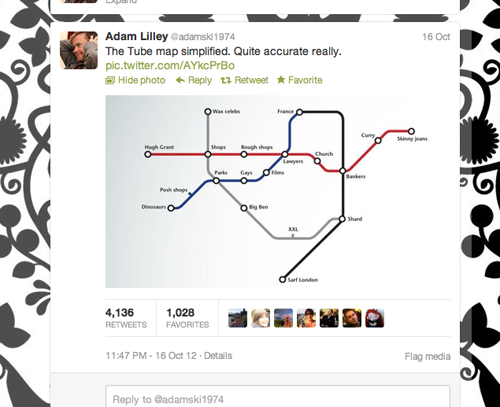
On the 16th October, an actor named Adam Lilley Tweeted an image based on a simplified version of a map of the London Underground. The creator had adapted it so that the names of the stations supposedly are indicative of what they believe the area around each station is best summed up by. Plainly it amused as over 4,000 Retweeted it.
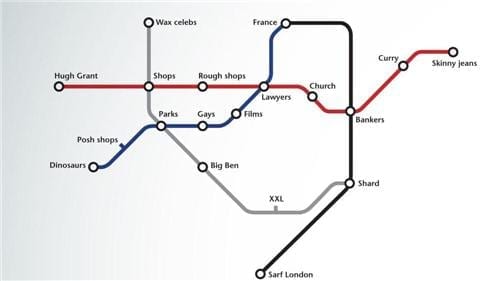
Knightsbridge is replaced by “posh shops” and South Kensington is all about “dinosaurs.” Westminster becomes “Big Ben” and Notting Hill Gate is simply “Hugh Grant.” Bethnal Green is replaced with “curry” and Leicester Square, “films.” Somewhere south of the river is simply “XXL” and out in Essex, another station is renamed “skinny jeans.” Irony is the order of the day.
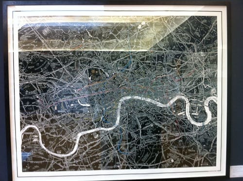
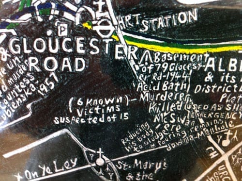
Altering maps in this manner is nothing new and an especially brilliant one I saw at Christie’s in Old Brompton Road in their 3rd September sale depicted the location of events and discoveries I’d never heard of. In Stephen Walter’s London Subterranea, for example:
– The basement of 79 Gloucester Road was the location of the discovery of an “acid bath murderer” who killed at least 6 and is suspected of 15 murders. According to the depiction, he killed someone named “McSwan ‘ere and poured the remains down a manhole, reducing his body to sludge.”
– Harvey Nichols is shown as a plague pit.
– Brompton Oratory is described as aa “MI6 agent meeting place and dead letter office.”
Such maps provide a little light relief and for that reason we make Lilley’s image The Steeple Times picture of the week. We invite readers to submit their very own versions. We shall publish the best.
View Adam Lilley’s website at: http://www.adamlilley.com Follow him on Twitter at: http://www.twitter.com/adamski1974
Please send your versions to: editorial@thesteepletimes.com
